Around Clew Bay › Achill › About an hour's drive from Westport from Westport
Achill Island beyond the end of the trail
Across the bridge at the end of the greenway, Achill offers sandy coves, a deserted stone village under Slievemore and some of the highest sea cliffs in Europe.
Trail noteIsland roads beyond the greenway are narrow, steep in places and busy in summer. Ride single file, use lights in poor visibility and expect sheep on the road.
The greenway ends at Achill Sound, but for many people the island beyond is the real goal. Achill is the largest island off the coast of Ireland, joined to the mainland by a short bridge, and it packs an extraordinary range of country into a small space: bog and mountain, sheltered coves and long beaches, a deserted village of stone houses and sea cliffs that drop hundreds of metres into the Atlantic.
It is a place to slow down. Roads are narrow, the weather changes by the hour and the best things on the island usually involve walking. Give it at least a full day; two or three are better.
Crossing onto the island
The bridge at Achill Sound carries the road over the narrow channel between mainland and island. Once across, the road climbs through bog and heather towards the centre of the island, with Slievemore rising to the north and the long ridge of Minaun to the south. The guide to Mulranny to Achill Sound covers the greenway's last stage up to the bridge.
There is no greenway on the island itself. If you continue by bike, you are on public roads, some of them steep and busy in summer. Ride single file, expect sheep on the road and wear something bright. Many people leave the bike at Achill Sound and use a car, a bus or their own feet instead.
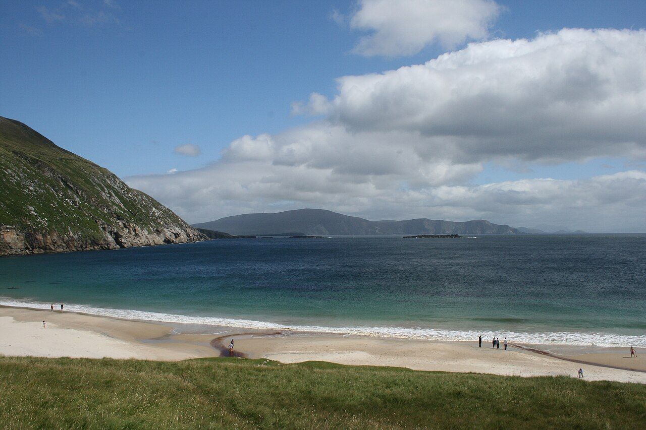
The main villages lie strung along the road west: Keel, with its long beach, Dooagh beyond it, and Dugort on the north side under Slievemore. Each has shops and places to eat in season, though some close in winter. Keel's beach, a long curve of sand under the Minaun cliffs, is one of the easiest places on the island to walk, with the sea on one side and a lake behind the dunes on the other. Its surf draws swimmers and surfers in summer, but the currents here can be dangerous, so heed any signs and local advice.
Keem Bay at the end of the road
The road west from Dooagh climbs along the flank of the mountain, with the open Atlantic below, then drops steeply to Keem Bay. It is a sheltered cove of pale sand between steep green slopes, with clear water that turns turquoise on a bright day. The bay sits almost at the western tip of the island, and beyond it there is only cliff, sea and sky.
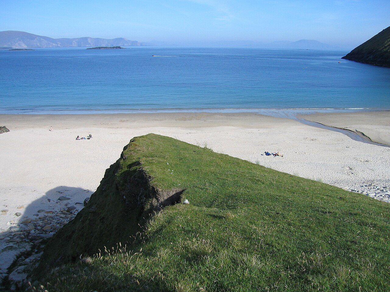
Keem was once the base of a basking shark fishery, and the large sharks still pass along this coast in summer, feeding on plankton near the surface. You may see their fins from the slopes above the bay on a calm day. They are harmless to people, and they should be left undisturbed.
The road to Keem is narrow, with steep drops and few places to pass. Drive slowly, and in summer arrive early, as parking is limited. Swim only in calm conditions and never alone; the water is cold and currents can be strong. Lifeguard cover, where it exists, is seasonal.
Off the trail: The Great Western Greenway, end to end
The deserted village at Slievemore
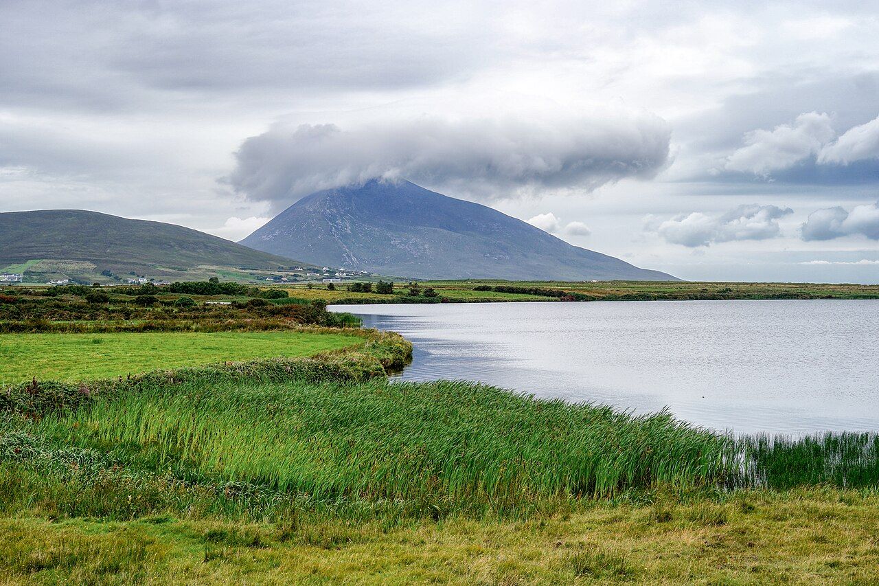
On the southern slope of Slievemore, the island's highest mountain, lie the ruins of a village of stone houses strung along an old track. Dozens of roofless cottages remain, their walls standing in rows across the hillside, with traces of old field strips around them.
The village was lived in for a long time and was gradually abandoned during the nineteenth century, a period that included the Great Famine and clearances across much of the west. Some of the walls still show where doors, hearths and small windows once were, and the outlines of lazy beds, the ridged potato plots of the period, can be traced on the slope when the light is low. Afterwards, families from other villages used some of the houses as summer quarters when they brought cattle up to the mountain grazing, a practice known as booleying.
Walking among the ruins is a quiet, sobering experience.
Walking among the ruins is a quiet, sobering experience. The houses are small, the ground is stony and the wind is constant, and it is hard not to think about the lives lived here. Treat the site with care: do not climb on walls or move stones, and stay on the tracks.
Minaun and Croaghaun
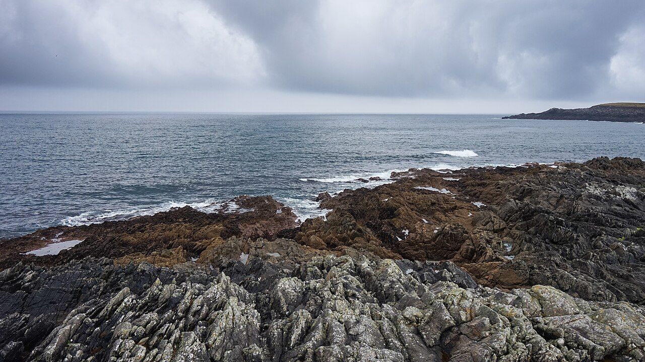
Achill's cliffs are its most dramatic feature. On the south-east side of the island, the long ridge of Minaun ends in steep cliffs above the sea, and a narrow road climbs close to the top for wide views over the island, Clew Bay and the mountains of Mayo. The road is steep and narrow.
At the western end of the island, Croaghaun rises above Keem Bay. Its north face falls straight into the Atlantic in some of the highest sea cliffs in Europe, and the walk up from Keem to the summit is one of the great hill days in Ireland. It is also a serious one. There is no path in places, cloud can come down quickly and the cliff edges are unfenced. Go only in settled weather, with a map, a compass and the skills to use them.
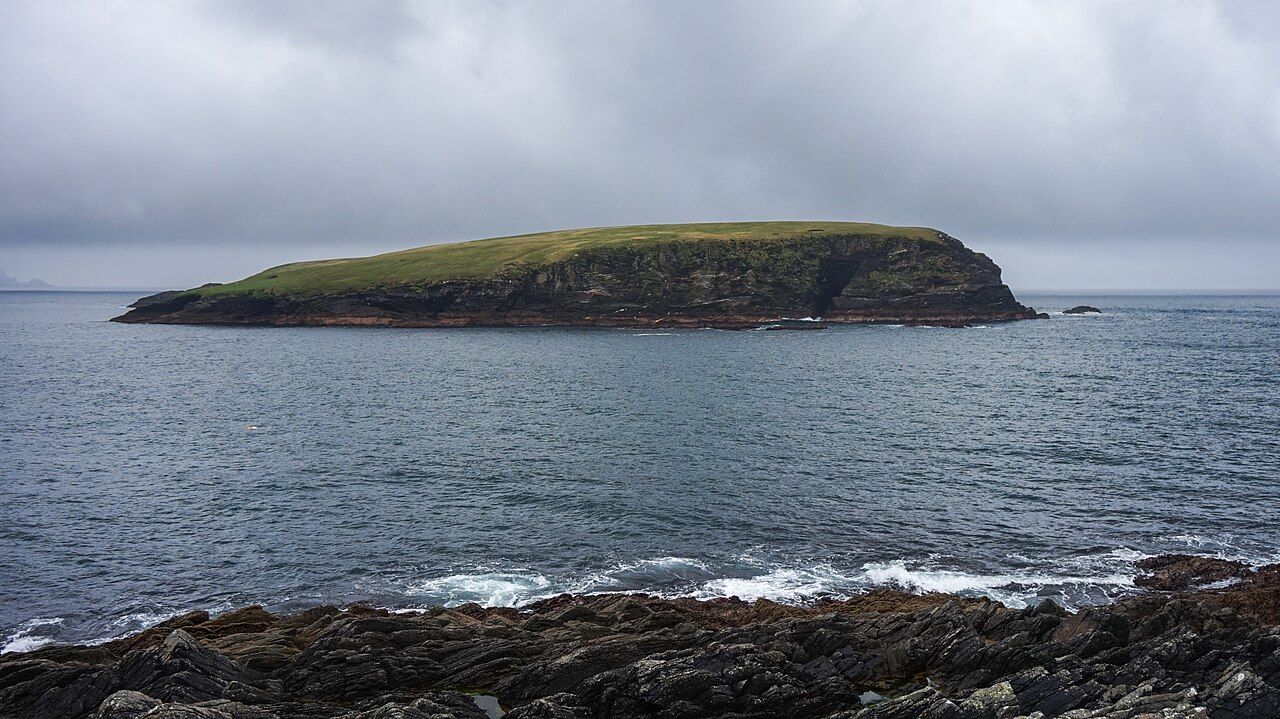
The Atlantic Drive, a road along the south-west of the island, gives easier views of the coast, with cliffs, coves and stacks below. Near its eastern end stands Kildownet Castle, a small tower house by the water, linked in tradition with Grace O'Malley. The guide to Clew Bay and its islands tells her story with the care it needs.
Getting around and practical notes
Achill is bigger than it looks on a map, and the roads are slow. A car gives the most freedom; buses link the main villages with the mainland on some days, but services are limited and seasonal. Cycling is rewarding but hilly, and wind is a constant factor. Check the forecast with the notes on Atlantic weather.
- Bring proper walking boots if you plan to go up Slievemore, Minaun or Croaghaun.
- Carry a map and do not rely on a phone signal in the mountains.
- Take all litter home; bins are few in remote spots.
- Respect grazing land and close gates.
- Expect some services to be closed outside summer.
Food on the island leans towards the sea and the hills, with fish, shellfish and mountain lamb on many menus; the notes on food on the west coast explain what is local and when. However you spend your time, leave room for an hour doing nothing at all on one of Achill's beaches, watching the light change on the water.
Next note: Croagh Patrick across the water