Around Clew Bay › Clew Bay › Visible from Westport's quay and shore from Westport
Clew Bay and its islands
Clew Bay is scattered with small green islands, the tops of drowned glacial hills, guarded at its mouth by Clare Island, home ground of the sea chief Grace O'Malley.
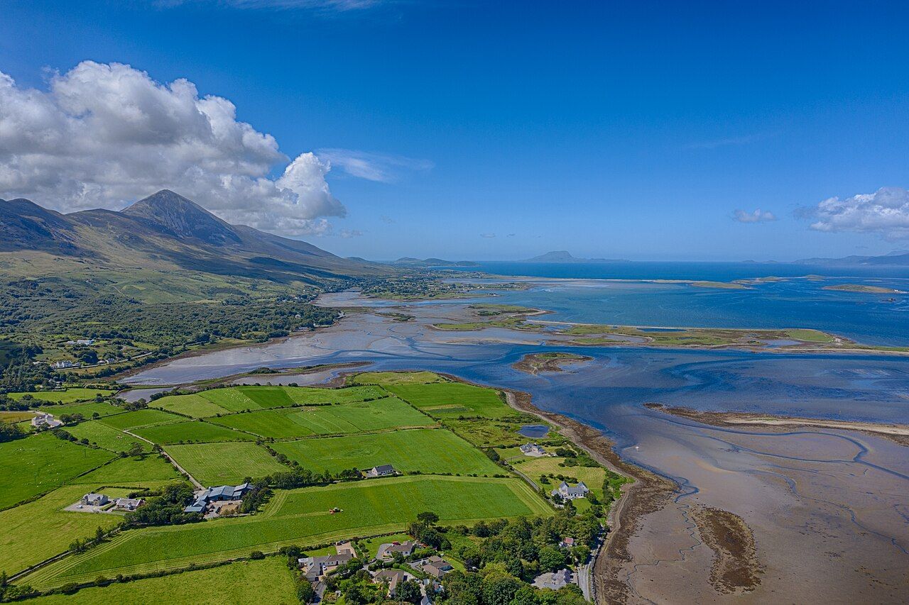
Trail noteThe best island views from the greenway come between Westport and Newport and from the slopes above Mulranny. Low tide shows the sandbars and channels between the islands.
Look south from almost anywhere on the Great Western Greenway and you see Clew Bay: a broad inlet of the Atlantic, scattered with small green islands. Some are no more than grassy humps, others carry fields, a farmhouse or a ring of trees. At the mouth of the bay, standing guard against the ocean, rises the much larger mass of Clare Island.
The bay and its islands are part of the reason the greenway feels the way it does. They change with every hour of light and every turn of the tide, and they carry a long history of farming, fishing, trading and seafaring.
A bay full of drowned hills
Most of the small islands in Clew Bay are drumlins, the same low, rounded hills of glacial clay that you ride between on the first stage of the greenway. They were shaped by ice at the end of the last glaciation. When the ice melted and sea levels rose, the lower ground flooded, leaving the tops of the hills standing above the water as islands.
It is often said that there are three hundred and sixty-five islands in the bay, one for every day of the year. The real count depends on what you call an island and the state of the tide, but the saying captures the effect: a bay so crowded with small islands that you lose count.
On their seaward sides many of the drumlins have been eaten away by waves into low clay cliffs, and their stones have been washed into beaches and spits. At Bertra, on the southern shore, a long sandy spit runs out into the bay. Shellfish farming goes on in parts of the bay, and you may see lines of floats in the sheltered channels.
Seeing the islands from the trail
The greenway gives you a long, slowly changing view of the bay. On the Westport to Newport stage the islands appear through gaps in the hedges, close and green. Further west, from the open bog and from the slopes above Mulranny, you see the outer bay and Clare Island across a wide sweep of water.
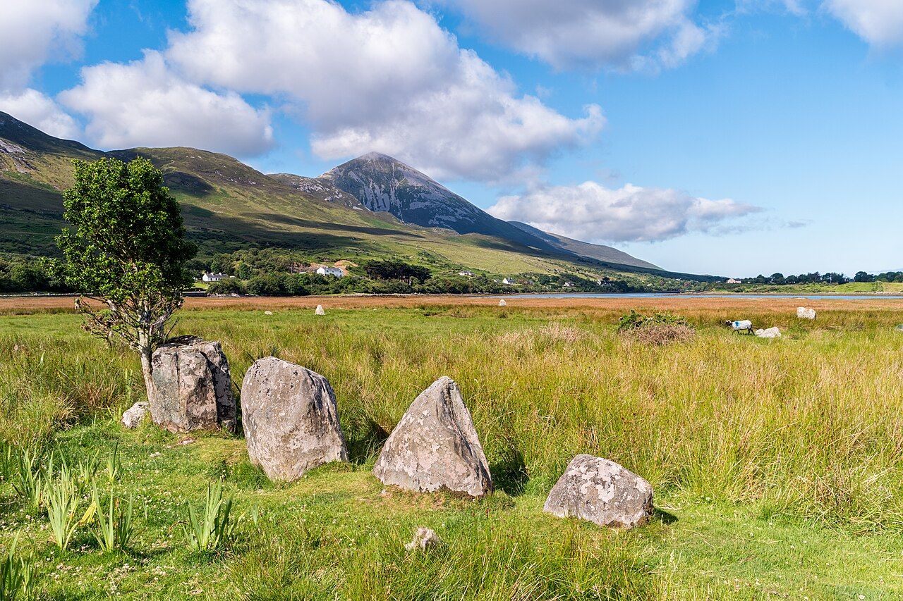
On the southern shore, Croagh Patrick rises straight from the edge of the bay, and from its summit you can see almost every island at once. The guide to Croagh Patrick across the water covers the mountain and its pilgrimage.
Off the trail: Westport, the town that was drawn before it was built
The shoreline itself is worth watching. At low tide, the channels between the inner islands drain to mud and sand, and wading birds gather to feed; the notes on the trail's wildlife describe what you might see.
Clare Island at the mouth
Clare Island is the largest island in the bay and quite different from the drumlins. It is a mountain in the sea, with a high summit and great cliffs on its northern and western sides falling straight into the Atlantic. A small community lives on the island, mainly on the gentler eastern side near the harbour.
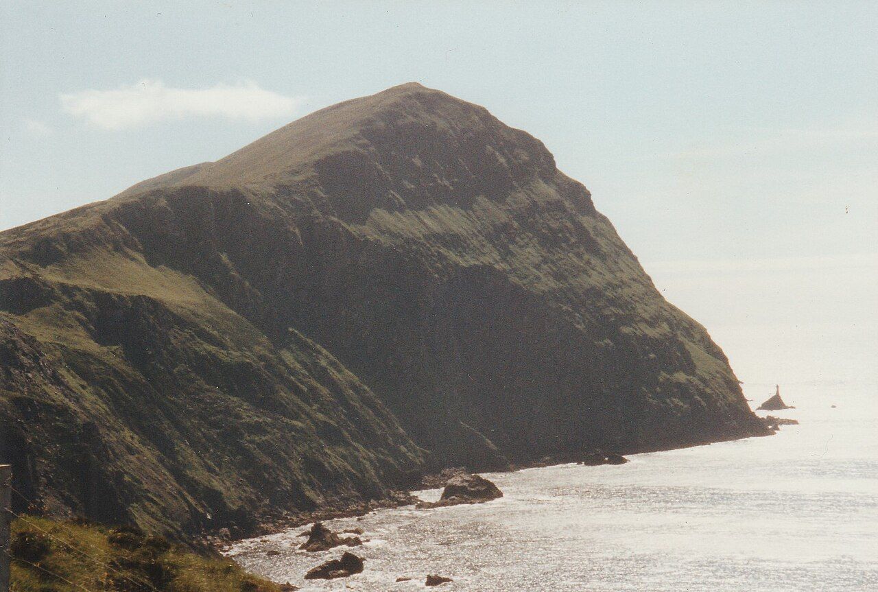
Near the harbour stands a square tower house linked with the O'Malley family. Inland, a small medieval church, often called the abbey, holds rare traces of painted decoration on its ceiling, and tradition holds that Grace O'Malley is buried there. The island has walking routes, quiet roads and wide views back to the mainland and Achill.
Ferries run to Clare Island from Roonagh pier, west of Louisburgh, with more sailings in summer. Times and fares change, and crossings can be cancelled in bad weather. Inishturk, further out and to the south-west, can also be reached by ferry on some days.
Grace O'Malley, told carefully
Gráinne Mhaol, known in English as Grace O'Malley, was a sixteenth-century leader of the O'Malley family, whose lordship included the islands and coast of Clew Bay. The O'Malleys were a seafaring family, and she commanded ships that traded, fished and, by many accounts, raided along the west coast. She held castles around the bay, including Rockfleet near Newport; the guide to Rockfleet and Burrishoole covers that tower house.
Her life fell in a time of conflict between Gaelic lords and the expanding English administration in Ireland. In 1593 she sailed to England and met Queen Elizabeth the First to plead for the release of members of her family and for her own rights. That meeting is well recorded. Many other stories about her, some dramatic, are part of folklore and have grown with the telling. It is fair to enjoy them, and fairer still to remember which are history and which are legend.
Getting out on the water
Seeing the islands from the shore is easy; getting among them takes more planning. Boat trips and sea kayaking operate in the bay in summer, and the ferries to Clare Island give you a long crossing of the outer bay. Go with an experienced operator, wear a buoyancy aid and listen to local advice about tides and weather.
- Many of the smaller islands are private farmland; do not land without permission.
- Tides run strongly in the narrow channels between islands.
- Weather on the outer bay can be much rougher than at the quay.
- Leave birds and seals undisturbed, especially in the breeding season.
Whether you see them from a boat, from the summit of the Reek or from a bench beside the greenway, the islands of Clew Bay are part of the view you take home. Watch them for a while as the light moves across the water and you will see why so many people come back.
Next note: Westport, the town that was drawn before it was built