The greenway › Whole trail › Starts at the edge of Westport from Westport
The Great Western Greenway, end to end
An old railway line around the top of Clew Bay, now a mostly traffic-free trail from Westport through Newport and Mulranny to Achill, for bikes and walkers in most weathers.
Trail noteThe prevailing wind usually blows from the west or south-west, so riding east from Achill often feels easier than riding west from Westport. Check the forecast before you choose a direction.
The Great Western Greenway runs around the northern edge of Clew Bay, from Westport through Newport and Mulranny to Achill Sound. It is a little over forty kilometres of mostly traffic-free path, laid on the bed of a railway that once carried people, goods, fish and post to the far west of Mayo. You can ride it in a day, walk it over three or four, or pick one stretch and take it slowly. Most people land somewhere in between.
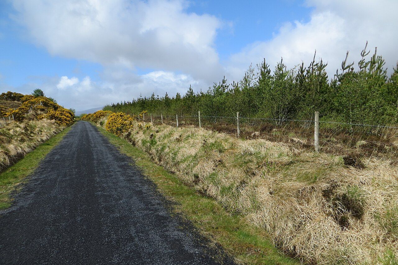
It is not a mountain trail and it is not a road. The surface is a firm, narrow path of fine gravel or tarmac, wide enough for two bikes to pass with care, and the gradients are gentle, because steam engines could not manage steep ones. What makes it worth the trip is the country it passes through: drumlin fields above the bay, open blanket bog under the Nephin Beg mountains, salt marsh and machair at Mulranny, and the long view across the water to Croagh Patrick.
A railway line that came late and left early
The line was built in the 1890s as an extension of the Midland Great Western Railway, pushing west from Westport to Newport, then on to Mulranny and finally Achill Sound. It was one of the lines meant to bring trade and work to some of the poorest parts of the west, and for a few decades it carried goods, fish and passengers. Traffic was always thin. The line closed in 1937, and the rails were lifted not long afterwards.
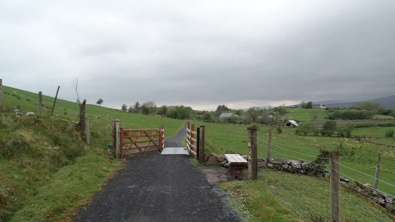
For years the trackbed lay under grass and rushes, cut by fences and field walls. Its second life as a walking and cycling route came in stages from around 2010, through agreements with the many landowners whose farms the old line crosses. That history explains much of what you meet today: gates where the trail passes through farmland, small bridges over streams, cuttings and embankments, and old station buildings, some now private homes, at the places where trains once stopped.
Two sad events are tied to the line in local memory. In 1894 a boat carrying young Achill people out to an emigrant ship capsized in Clew Bay, and in 1937 a fire in a farm bothy in Scotland killed ten young men from Achill who had gone there for seasonal work. The dead of both were carried home by rail, one near the line's beginning and one at its end. The story is told with care along this coast, as part of the memory of emigration, and it is worth hearing that way.
How the trail is laid out
The greenway falls naturally into three stages, and most people plan around them.
- Westport to Newport is the shortest, roughly a dozen kilometres through rolling farmland, with the bay to your left and a stone railway viaduct waiting at Newport.
- Newport to Mulranny is the longest and the wildest, out across bog and rough grazing with the Nephin Beg range to the north; the guide to the middle stage covers it in detail.
- Mulranny to Achill Sound follows the coast west through open, often windy country to the bridge onto Achill Island.
Distances on signs and maps vary a little depending on where in each town you start, and some short sections share or cross public roads. Treat any figure you see as a guide.
Off the trail: Croagh Patrick across the water
Bog, drumlins and the sea
The first stage runs through drumlin country, small rounded hills of glacial clay with fields, hedges and stone walls. The same hills, flooded by the sea, make the scattered islands of Clew Bay, and from the trail you see them in shifting light, green humps on grey or blue water. Behind you, and later across the bay, stands the cone of Croagh Patrick, which seems to follow you for most of the day.
Beyond Newport the land opens out. Hedges thin, the fields give way to blanket bog and rough grazing, and the Nephin Beg mountains rise to the north, often with cloud sitting on them. There are long straight sections here, where the old railway engineers simply ran the line across the bog, and cuttings where the trail drops between banks of heather and gorse.
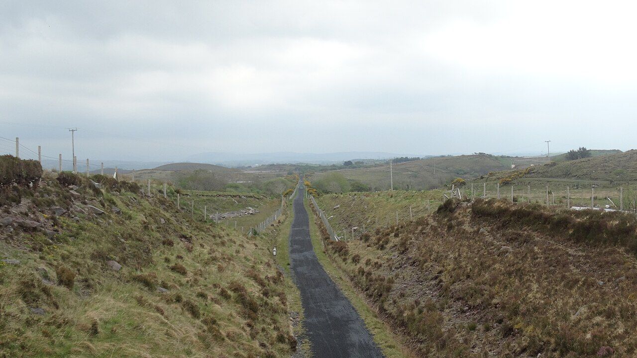
Around Mulranny the trail meets the sea again. Salt marsh lies below the village, a causeway crosses to the strand, and the slopes above carry a heather that is rare in Ireland. On the last stage the view widens to Achill, with Slievemore and the Minaun cliffs ahead.
Choosing a direction and a pace
The single biggest factor in how the day feels is the wind. Atlantic weather usually comes from the west or south-west, which is why many riders like to start at Achill Sound and finish in Westport with the wind behind them. On a still day it makes little difference; on a wild one it can double the effort. Read the weather notes before you choose.
On a bike, a fit rider with a few stops can do the whole line in a day, though that leaves little time for the beaches, castles and villages beside it. Two days, with a night in Newport or Mulranny, is a more relaxed rhythm. Walkers usually split it into three or four sections and use buses or taxis to get back to their start.
The greenway rewards slowness more than speed.
The greenway rewards slowness more than speed. A sheltered bench above the bay, a stop at the viaduct in Newport, an hour on the strand at Mulranny: these make the day, more than the number on the clock. Bike hire is available in the towns along the route, and some hire firms will collect bikes from the far end; arrangements and prices change.
Gates, sheep and road crossings
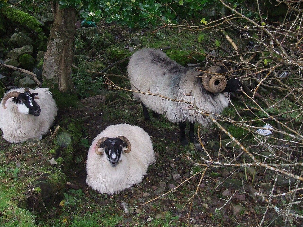
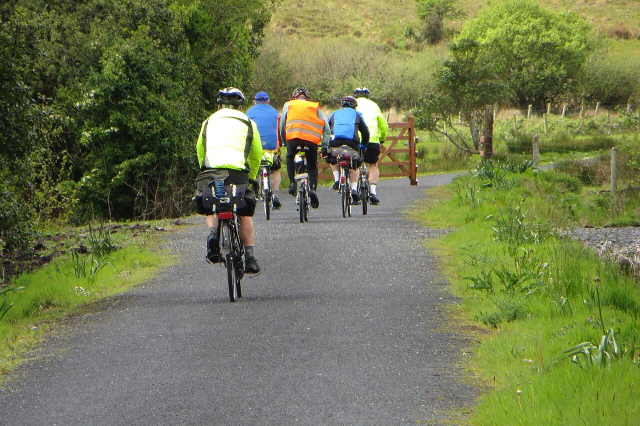
Much of the greenway passes through working farmland, and the arrangement with landowners depends on users treating it that way. You will meet gates, some to open and close behind you, stock grids, and in places sheep or cattle on or beside the path. Slow down near animals, keep dogs on a short lead, and leave every gate as you found it.
Where the trail meets the main road, there are marked crossings. Cars on these roads move fast and do not always expect bikes, so stop, look both ways and cross together if you are in a group. Some short sections run on quiet local roads; ride single file there. The full guide to trail manners covers bells, passing and groups.
Before you set off
- Pack waterproofs even in summer; showers come in fast off the Atlantic.
- Carry water and some food, since there are long stretches between villages, especially beyond Newport.
- Bring a basic repair kit and a pump; the surface is kind, but punctures happen.
- Check daylight hours outside summer, when evenings close in early.
- Plan how you will get back. Buses run along parts of the route and some hire firms run shuttles; services change by season.
Westport has the main rail and bus links into the area, and the notes on getting to Mayo cover trains, buses and the airport at Knock. Once you are on the trail, the old line does the rest: steady, gentle and always heading somewhere worth reaching.
Next note: Westport to Newport through the drumlins