The greenway › Mulranny › Most of a day from Westport from Westport
Mulranny to Achill Sound along the shore
The final stage of the greenway runs west from Mulranny's salt marsh and machair along an open, windy shore to the bridge that carries you onto Achill Island.
Trail noteThis stage is the most exposed to Atlantic wind. A westerly blows straight into your face, so many riders start at Achill Sound and ride east instead.
The last stage of the Great Western Greenway is the one with the sea in it. From Mulranny the trail runs west along the coast, through open country with wide skies and long views, and ends at Achill Sound, where a bridge carries you onto Ireland's largest island. It is shorter than the stage before and mostly level, but the wind can make it feel much longer.
Mulranny on its neck of land
Mulranny sits on a narrow isthmus, with Clew Bay on one side and the long inlet of Blacksod Bay on the other. The old railway station stood above the village, and the trail still passes high on the slope, giving you a view down over the roofs to the salt marsh and the strand.
Before you leave, walk or ride down to the causeway that crosses the marsh to the beach. At low tide the marsh is a maze of channels and mud, busy with wading birds; at high tide the water comes right up to the causeway on both sides. The slopes above the village are known for a heather that is rare in Ireland and flowers early in the year.
Salt marsh and machair
The ground around Mulranny shows two of the most interesting habitats on the west coast. Salt marsh forms where the sea floods low ground twice a day, and only plants that tolerate salt can grow there: sea pink, sea aster, glassworts and salt-marsh grasses. Machair is different, a flat, grassy plain on wind-blown shell sand behind the dunes, rich in wildflowers in early summer.
Both are fragile. Stay on paths, keep off the dunes and do not ride bikes on the grass. The guide to bog, machair and wildlife explains how they form and what to look for in each season.
The open shore west
Beyond Mulranny the trail heads west through rough grazing and scattered houses, with the sea to the south and low hills to the north. There are fewer gates and hedges than on the first stage, and the view keeps opening out: Achill ahead, its hills rising across the water, and Clare Island and the outer bay behind your left shoulder.
This is a stretch for slowing down. There are few villages, so carry what you need, but the riding is easy and the views change with every passing cloud. Sheep often graze close to the path; pass them slowly and quietly.
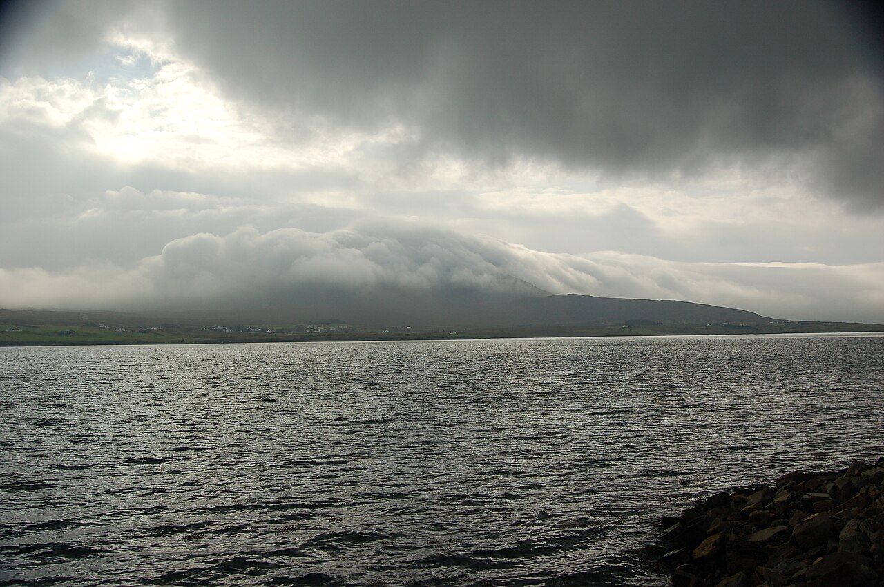
Look north as you go and you see the long inlet that runs up towards Ballycroy, with the Nephin Beg range beyond it, brown and empty. To the south, the water of Clew Bay widens towards the ocean, and on a clear day Clare Island stands out at the mouth of the bay like a ship at anchor. Few stretches of the greenway give you so much water and sky at once.
Off the trail: Getting to Mayo and onto the trail
Wind on the last stage
Nothing affects this stage more than the wind. With little shelter and the open Atlantic not far away, a westerly can turn an easy ride into hard work. If the forecast shows strong wind from the west, consider starting at Achill Sound and riding east to Mulranny, with the wind behind you. The notes on weather on the trail cover what to expect in each season.
The wind also matters for timing. If you have arranged a pickup or a bus at Achill Sound, allow extra time on a westerly day; a ride that takes a couple of hours in calm weather can take far longer into a gale. On a very wild day, with gusts strong enough to push a bike sideways, it is wiser to wait or to shorten the ride.
Rain comes in fast here, often as sharp showers with sunshine in between. A good waterproof and a warm layer matter more than they seem to on a calm morning in the village. In summer, sunglasses help too; the light off the water can be strong.
The bridge at Achill Sound
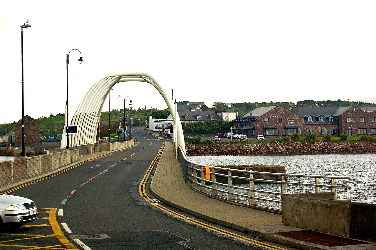
The greenway ends at Achill Sound, the narrow channel between the mainland and the island. A road bridge, named after the land reformer Michael Davitt, crosses it here; the current bridge replaced an older swing bridge in the 2000s. The small village of Achill Sound sits beside the bridge.
Crossing the bridge is a fitting end to the trail. The old railway ended here too, and passengers went on by road. For you, the island is right there: Keem Bay, the deserted village under Slievemore and the cliffs of the west. The guide to Achill Island covers what lies beyond the bridge.
Be careful on the bridge and in the village. This is a road, not a greenway, and traffic can be busy in summer. Walk your bike across if you are unsure.
Getting back and going further
If you have ridden the whole greenway, you now need to get back. Buses run between Achill and Westport on some days, and some bike-hire firms collect bikes and riders from Achill Sound by arrangement. Services and times change with the season. The guide to bikes and trail manners has more on planning a one-way ride.
If you have energy left, the roads on Achill are another world: quieter in places, steeper in others, with an Atlantic coastline that is some of the most dramatic in Ireland. Many people finish the greenway and spend the next day exploring the island on foot or by bike.
- Allow a few hours on a bike for this stage, longer with a headwind.
- Carry water and snacks; there is little between Mulranny and Achill Sound.
- Check the last bus or your pickup time before you start riding.
Next note: Achill Island beyond the end of the trail