The greenway › Newport › About a dozen kilometres from Westport from Westport
Newport to Mulranny across the bog
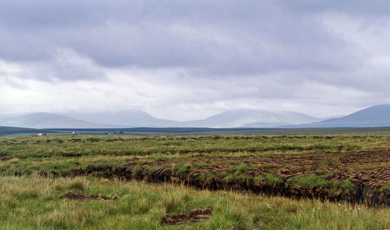
The longest stage of the greenway leaves farmland behind for open blanket bog, with the Nephin Beg mountains to the north and Clew Bay glinting to the south.
Trail noteThere are few services between Newport and Mulranny and little shelter on the open bog. Carry food and water and turn back early if heavy weather builds over the mountains.
West of Newport the greenway takes on a different mood. The neat fields and hedges of the first stage fall away, and the trail runs out across open bog and rough grazing, with mountains to the north and the sea never far to the south. This is the longest of the three stages and, for many people, the one they remember best.
It is also the most exposed. There are long sections with no village, no shop and little shelter, and the weather can change while you watch. Treat it with a little more respect than the stage before, and it will give you some of the finest open country in the west.
Leaving Newport
The stage begins at the river in Newport, where the trail crosses the old railway viaduct and heads west out of town. For the first stretch it still passes farmland and houses, with gates and short road sections. The main road runs nearby and the trail crosses it at marked points; stop fully at each one.
Just north of Newport lie the lakes of the Burrishoole system, which drain down to the sea through a short channel. To the south-west, on the shore of Clew Bay, stand the ruined friary at Burrishoole and the tower house at Rockfleet. Neither is directly on the trail, but both are a short detour by road; the notes on Rockfleet and Burrishoole tell you how to find them.
Into the bog
Beyond the farmland, the trail opens onto blanket bog. This is peat built up over thousands of years in a wet, cool climate, covered in heather, purple moor grass, sedges and bog cotton. In places you can see where turf has been cut by hand or by machine, leaving dark, straight-sided banks with the stacked sods drying beside them.
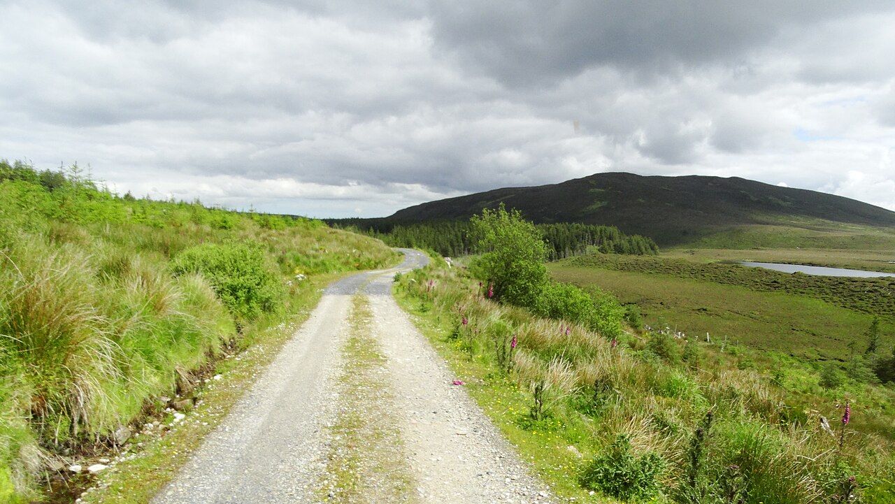
The bog is a living habitat, not empty ground. Skylarks and meadow pipits rise from the heather, and in spring you may hear a cuckoo. Insect-eating sundews grow in the wettest patches. Stay on the trail: the ground beside it is softer and deeper than it looks, and it is easily damaged. The guide to bog and machair explains how these habitats work and what lives in them.
Off the trail: Clew Bay and its islands
The Nephin Beg range
All along this stage, the Nephin Beg mountains fill the northern horizon. They are among the emptiest uplands in Ireland, a wide spread of rounded summits and long ridges with almost no roads and very few houses. Much of the range to the north lies within a national park centred on Ballycroy, and an old route called the Bangor Trail crosses the mountains between Newport and the Erris country to the north.
On the greenway you see the range rather than enter it. Cloud often rests on the tops, and on clear days the light moves across the slopes in long bands. If you want to go further in, the Bangor Trail and the forest tracks are serious undertakings that need a map, proper boots and settled weather; they are not an add-on to a bike ride.
Shelter, water and weather
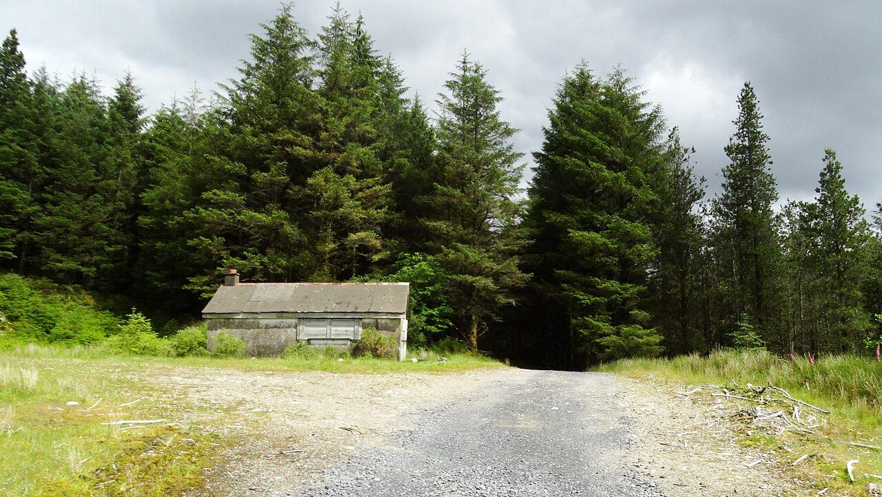
This stage has the fewest facilities on the whole greenway. Plan as if there were none between Newport and Mulranny, and you will not be caught out.
- There is little to buy along this part, so pack what you need to eat and drink.
- Pack a warm layer as well as a waterproof; the bog is colder in a wind than the fields behind you.
- Bring a pump and a spare tube or patches.
- Check the forecast. A strong westerly makes this the hardest part of the trail.
The notes on weather on the greenway explain how Atlantic systems move across this coast. If heavy rain or a gale is building over the mountains, there is no shame in turning back.
Arriving at Mulranny
The last part of the stage brings you down towards the sea again. Mulranny sits on a narrow neck of land between Clew Bay to the south and Blacksod Bay to the north, and the trail comes in above the village with wide views over the water to Achill and Clare Island.
Below the village a causeway crosses the salt marsh to a long strand. It is worth walking down, even if your legs are tired. The slopes around Mulranny are also known for a heather that grows in only a few places in Ireland, flowering early in the year among the gorse and fuchsia.
From here, the final stage runs on to the bridge at Achill Sound. The guide to Mulranny to Achill covers that last stretch along the shore.
How long it takes
On a bike, most people take a few hours for this stage, longer with stops or into a headwind. Walkers usually allow a full day. If you are walking, it can make sense to split the stage in two and arrange a lift from the road at the halfway point, since the trail and the main road run close together for much of the way. Riders with children should know that this is a long stretch with few ways out; a shorter out-and-back from either end may suit a family better than the full crossing. Buses link Newport and Mulranny on some days, and taxis can carry people back; services vary with the season.
Whatever pace you choose, leave time to stop on the open bog, switch off and listen. On a still day the quiet out here is almost complete, broken only by the wind in the heather and the call of a bird you cannot see.
Next note: Mulranny to Achill Sound along the shore