The greenway › Westport › Starts at Westport from Westport
Westport to Newport through the drumlins
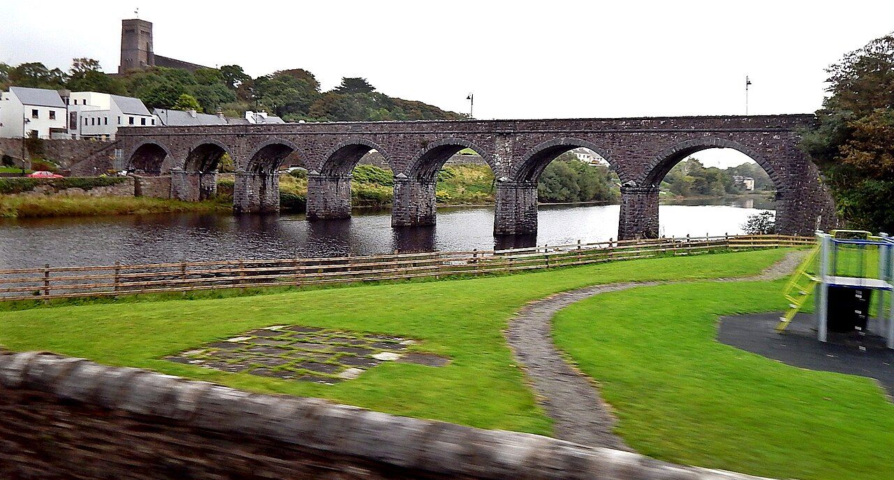
The shortest stage of the greenway runs through small green hills above Clew Bay and ends at a seven-arch stone viaduct over the river at Newport.
Trail noteThis stage crosses and runs near the main Westport to Newport road several times. Stop fully at each crossing; traffic is fast and drivers may not expect bikes.
The first stage of the Great Western Greenway is the gentlest introduction you could ask for. It leaves the edge of Westport, climbs softly through farmland, threads between small rounded hills and drops into Newport over a handsome railway viaduct. It is roughly a dozen kilometres, short enough for a relaxed morning on a bike or a full, unhurried day on foot.
Because it is the shortest and closest to the biggest town, this is also the busiest stretch in summer. Families with young children, first-time riders and walkers out for a few hours all use it. If you want quiet, start early or come outside the school holidays.
Leaving Westport
Westport is a planned town of tree-lined streets, a river channel and a broad mall, and it makes a good base before or after the ride; the guide to the town itself covers the Octagon, the quay and the house. The greenway start is signposted from the town, and in its first section the trail runs close to roads and housing before it settles into open country. The exact start point and the first few hundred metres have changed over the years, so follow the current signs rather than an old map.
If you arrive by train, the station is in the town and the trail is a short ride away. The notes on getting to Mayo cover rail and bus links. Bike hire is available in Westport.
Drumlin country
Once clear of the town, the trail rolls through drumlins, the low egg-shaped hills left by ice at the end of the last glaciation. They give this part of Mayo its patchwork look: small fields, hedges of hawthorn and fuchsia, stone walls, cattle and sheep. The old railway line threads between them, using short cuttings and embankments to keep the gradient easy.
Every so often a gap in the hedges opens a view south over Clew Bay. The same drumlins continue under the water and break the surface as islands, and on a bright day you see dozens of them, green and low, scattered across the bay. Behind you, Croagh Patrick rises from the far shore, a sharp cone that looks different every time you turn round.
Gates, farms and road crossings
This stage runs through a great deal of private farmland, and the trail exists because landowners agreed to let it cross their fields. You will meet gates, some of them closed, and occasionally livestock nearby. Close any gate you open, slow right down near animals and keep dogs on a lead.
Off the trail: The Great Western Greenway, end to end
The trail also comes close to the main road between Westport and Newport and crosses it at marked points. These crossings are the main hazard on this stretch. Stop, dismount if you are unsure, and cross in one group rather than one by one. Children should cross on foot alongside an adult.
The surface is mostly smooth and firm, with a few short climbs that will remind you the line ran over hills, not around them. None of them is long. If you are walking, allow most of a day with breaks; on a bike, a couple of hours is comfortable for most people, with time to stop.
Arriving at the viaduct
The finest moment of the stage comes at the end. The trail drops into Newport and crosses the river on a seven-arch stone viaduct built for the railway in the 1890s. Its arches stand in the dark water of the river below the town, and the parapet makes a natural place to stop and look upstream and down.
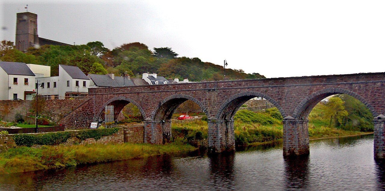
Above the viaduct, on the hill, stands the parish church of St Patrick, built in a Hiberno-Romanesque style in the early twentieth century. Inside is a large stained-glass window by Harry Clarke, one of the last he completed. If the church is open when you pass, it is worth leaving the bike for a few minutes; respect any service under way.
The viaduct is also where many people pause to decide what comes next. Newport is a small town with a main street running down to the river, and it makes a good halfway base for anyone riding the whole greenway over two days.
Newport and onward
From Newport the character of the trail changes. Hedges thin, the farmland gives way to bog, and the Nephin Beg mountains start to dominate the northern skyline. The guide to the Newport to Mulranny stage covers that longer, wilder section.
Before you push on, two short detours from Newport are worth the time. The ruined friary at Burrishoole sits by the water a little way west of the town, and further along the shore stands the tower house at Rockfleet, linked in tradition with Grace O'Malley. The notes on Rockfleet and Burrishoole cover both.
- Toilets, food and water are easiest to find in Westport and Newport; there is little in between.
- Showers blow through quickly here. A light waterproof in the bag saves the day.
- If you are heading back to Westport, buses and taxis run between the towns, but times change by season.
- Lock your bike if you leave it in Newport, even for a short walk.
Short, green and friendly, this stage is a good first taste of the greenway. Ride it once and you will want to see what lies beyond the viaduct.
Next note: Newport to Mulranny across the bog